 |
| Route 1 |
On Friday I headed
out of San Francisco and down Route 1 following the Big Sur Coast Highway and
the San Luis Obispo North Coast Byway. It’s a 123 mile road that twists along
the coast. Along with my quest to see all the NPS sites, I have a parallel
quest to see all the All-American Roads (of which there are about 30). I’d
always envisioned driving the California coast in a convertible but the wildly
variable weather and the omnipresent fogs killed that dream of ever happening. I
had to settle for a Kia Rio. My first stop was Carmel-by-the-Sea where I could
glimpse the famous Pebble Beach. I’m not a golf fan so it wasn’t that impressive
to me.
 |
| Pebble Beach |
The best part of Carmel is Point Lobos. It costs $10 to enter but is
worth every penny. You can park along the road and walk in but I was planning on
hiking 5 miles so I didn’t want to add more hiking onto that. I parked in
Whaler’s Cove and hiked a huge loop from the North Shore trail to the Cypress Grove trail, to Sea Lion Point trail and then along the South Shore trail
until I cut back across to the parking lot via the Mound Meadow trail.
 |
| Sea lions |
It was breathtaking.
The trail hugged the coast so there was constantly changing views. I couldn’t get
over how blue the water was. It was by far the highlight of the day.
I reluctantly
climbed back in my car and drove through Garrapata State Park. It’s on either
side of the highway so its mostly just viewpoints. By this point the clouds had descended but the bright flowers made up for the gray skies.
 |
| Garrapata State Park |
I drove down to the famous
Bixby Bridge; one of the tallest single-span concrete bridges in the world. It's
also where a lot of the iconic Big Sur pictures are taken so it was kind of an
out of body experience to actually be seeing it in person.
 |
| Bixby Bridge |
My friend Melissa had done
Point Lobos and Bixby a few months ago and I was so jealous of her pictures that knew that I had to find a way to
incorporate them into my visit and it was so worth it.
 |
| Pfeiffer Falls |
My next stop was inland
at Pfeiffer Big Sur State Park. I hiked the Pfeiffer Fall and Valley View Trail.
The falls are pretty small and the valley view wasn’t that great but the hike
through the redwoods to get to both of those spots was what made the trail.
 |
| Valley View |
 |
| Hiking through redwoods |
My next stop was Julia Pfeiffer Burns State
Park which is famous for McWay Falls which pour 100 feet into a picturesque
cove. Through signage at the overlook I learned that a landslide in the mid 80’s
caused the topography to alter and the falls now only spill into the ocean when
the tide is in. It was another stunning vista.
 |
| McWay Falls |
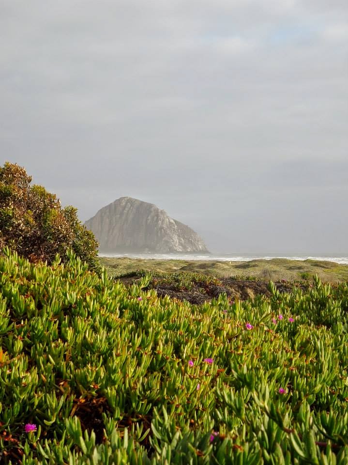
After that, I focused on just driving
the road and only stopping occasionally at some pull offs. I was amazed to get
up close to elephant seals at Piedras Blancas Point. Everywhere else I had seen
seals this week had been at a respectable distance but this boardwalk literally
is a few feet above a beach where there’s hundreds of them. There is signage along
the way telling about them so it was interesting to learn.
 |
| Elephant seals |
I was hoping to see
one of the big males with the huge nose but it was the wrong time of year for
that. I finally arrived in San Luis Obispo where I was bunking down for the
night.
 |
| Driving into San Luis Obispo |


No comments:
Post a Comment