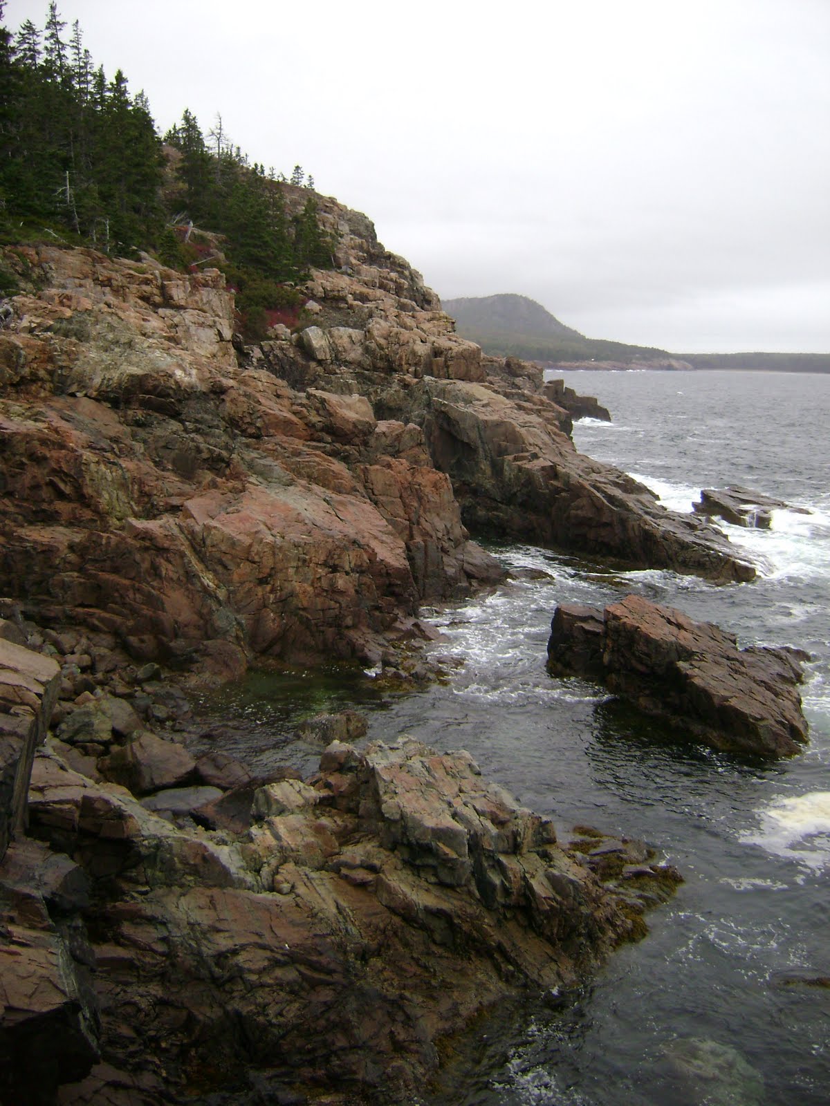
My destination was the Roosevelt Campobello International Park. Roosevelt’s parents brought him there as a child and he loved it so much that he kept coming back year after year. It is also the place where he was stricken with polio.
  Last November Mom and I had gone to his and Eleanor’s homes in New York so I thought I was pretty familiar with Roosevelt. Whenever I pictured Roosevelt it was always in a wheelchair and I guess I always assumed he had polio since he was a child. It was amazing to see pictures of him hiking, sailing, canoeing and enjoying the outdoors as a young man.
 I spent a lot of time at the park because it was gorgeous. Everything was so perfectly restored. I watched a video and then myself and a couple other guests were escorted over to the cottage by an interpreter. It was a self guided tour but there were interpreters everywhere that gave a little spiel and answered questions.
 I loved these interpreters. Although it’s jointly administered by the U.S. and Canada the interpreters all wore blue skirt suits (instead of ranger uniforms). They also spoke in a very interesting dialect. I realized how far north and east I was at that point. I can’t pin it down but it was a very interesting way of speaking that I had never heard before.
 I walked around the grounds and saw some gorgeous flowers and another cottage that is not open. I peered through the windows though.
 I walked down to the beach and saw where the majority of Atlantic salmon is born. They have large pens in the ocean and there was an exhibit on the lifecycle of Atlantic salmon.
 I decided to take the time for one hike. From the cottage I could see the Friars head-a stone chimney along the ocean. I thought the hike was listed as round trip but it was apparently one way. There were also no written signs just pictures. I followed the sign of a picture of a rock and was soon walking along the sea shore where the rocks were covered in some sea snot that was slippery as hell.
  I turned around and follow the trail in the other direction. It was oddly humid and in the 60’s so I was quite warm and had no water as I wasn’t expecting it to be this long of a hike. I finally made it to an overlook with some exhibits. It was there I learned that Friar’s Head is only seen from the sea shore and only hikeable at low tide. Being from inland, I had no clue when high and low tide were. Whatever.
 Oh well. At least I’d seen it from afar at the cottage. I then headed back on what I thought was a loop trail. It wasn’t. I turned around went back uphill and trudged back to my car- where I realized that overlook was accessible from the road.I drove over to Herring Cove Provincial Park. There was a beach and not a soul in sight. I made the most of it and played around in the ocean and took some great pictures.
 I found an old antifreeze container that had washed ashore and used that to prop my camera up on. Thanks sea garbage!
  I then went back into Roosevelt Campobello Park and drove the carriage roads. I went out to the farthest overlook and it was freezing and covered in fog. The exhibits said seal can usually be spotted but I didn’t see any. The atmosphere was kind of spooky so I left.
 After being stuck behind some truck on the carriage roads I made it back to the U.S. Border. I stopped and chatted with the officer for a few moments because I was confused about the time. Apparently New Brunswick observes Atlantic Time so I was an hour ahead. But the U.S observes Eastern Time so I was back on schedule. (I thought this direction from Jack was funny)
 My next stop was Saint Croix Island International Historic Site. Well first I had to find the place. I saw a sign so I drove down the road and it spit me back on Route 1. So I turned around and drove back and saw a sign for the NPS Offices. I figured the driveway next to that would be the entrance but no it was just the driveway to someone’s home. I turned around and finally found the entrance. As the NPS website says “The site is focused on establishing a quiet atmosphere of respect meant to promote contemplation of the heroism and suffering of the French colonists in 1604–05.”
  So basically there’s a 5 minute walk down to the water and there’s various statues along the way. There’s an overlook of the island but you’re not allowed to go there because of its fragile nature. It was definitely the oddest NPS site I’ve been to.
I continued up Route 1 and it was gorgeous. The sun came out and the leaves were beautiful. 8 miles of the road is called the Million Dollar View. I don’t know if it was quite that sum but it was just nice to see sunshine. 
 I then headed over to cross the border back into New Brunswick. I’m not sure if it was due to the size of the facility or the fact that I was traveling along but I got grilled! Because I wanted to go on the scenic byway I ended up crossing over at a very remote border station.
  I pulled up and rolled down my driver’s side window. Well the lady approached my passenger side window so I rolled it down and she asked me the basic questions. I told her I was going to Hartland (about an hour away) to see the World’s Longest Covered bridge. She asked skeptically “you came all the way from New York to see that?”
  She then asked me to go ahead and pull over, shut off my engine and pop my trunk. I did and I could hear them rustling around. She then asked me about school. I paused for a minute. The only sticker on my car says “I support America’s National Parks”. There’s no indication that I’m in school (other than my youthful appearance) so I thought it may be a trap. I said no, I graduated and I work full time.
  She then asked “when was the last time you spoke to an immigration officer?” I told her I had cross the border a few hours ago at Roosevelt Campobello so I guess it was then. After I showed her my map indicating my route and how I had ended up at that obscure border crossing she let me go after warning me that I could not come back through this border crossing because it would be closed. I understand these people protect their country’s security but it’s sometimes frustrating to deal with them. I moseyed on down back roads through some gorgeous scenery.
 I drove across the bridge and parked at the visitor’s center to take some pictures. It was so pretty. The sun was starting to set and it was such a quiet little town. I walked across the bridge and back (which took a while).
 I headed back out of town to find my hotel. What’s funny about the bridge is that it’s one lane and there’s no light so you basically have to look at the other end and see if there’s another car coming and hope they see you coming. I was originally going to head north out of New Brunswick and cross back over but it looked like a small town on the map so I went back across the Hartland border crossing.
 I didn’t want to take the chance that I would drive all that way and have the border be closed. Plus I wasn’t sure if border crossings were on Atlantic or Eastern time. This crossing was much easier and the guy even said “welcome home”. No agent has ever said that to me before. It was nice. I headed up to Presque Isle, Maine where I had Hampton Inn reservations. The sunset was stunning.
 I hadn’t seen that nice of a sunset in a long time. On the drive I was flipping through the radio and heard the Jeopardy theme music. Apparently in Maine they play Jeopardy on the radio! When I got to the hotel I turned on the TV and got to see the end. How cool is that!?
  I think the Hampton thought I was some VIP because they treated me so nice and gave me a king corner room. Quite the upgrade. The hotel also had free soup and salad for dinner which was a nice relief from my peanut butter and jelly sandwiches.