It rained on me the entire night at Blackwoods. My tent is pretty watertight but a few leaks came through. The rains stopped by morning although it was still really cloudy and foggy. My first stop was Jordan Pond House.
  The house had a bunch of tables set up to look over the pond and is apparently nestled into a valley surrounded by twin peaks called the Bubbles. However, thanks to the fog I only saw about as far as I could throw a stone. It was oddly peaceful though. Further on down the road I saw a sign for the Bubbles and I figured if I couldn’t see them from the bottom then I would hike to the top of the darn things. When I got to the top of North Bubble the winds were whipping the fog around and what I thought was a stream turned out to be the edge of the pond and I realized how big Jordan pond was.
 I excitedly hurried over to South Bubble (less than a mile away) hoping that by the time I got there the fog would have lifted even more. I was rewarded by a stunning vista and finally saw the entirety of Jordan Pond.
  It was gorgeous. I’m so glad I hiked the Bubbles and the trail was really easy. I saw a sign for Pemetic mountain trailhead that started across the road. It was only .6 miles so I figured it would be the same as the Bubbles. Not in the slightest! The trail was marked by blue spray paint on a rock covered mountainside.
  What wasn’t slick, wet rock was slick, wet leaves. I even got to a point where I saw this sign.
Really!? Those are my only two options, ravine or ledge? I chose ravine because I figured if I were to fall my body wouldn’t have far to go. It was a narrow gorge, covered in wet rocks and moss and slimy ladders.  I made it through that and then the trail finally had some stairs built around the rock. I finally made it to the top and was greeted by this awe inspiring vista.
  Obviously the fog and clouds that had blown off the Bubbles had blown over onto Pemetic. I was pretty angry at this point. Plus this was no loop hike and I had to go down exactly the way I just came. It was worse going down because I just kept sliding. I adopted a crab walk and by the time I got to the bottom I was wet, bloody and my hands were raw from constantly grating against rocks. Ugh. I hadn’t planned on hiking so much but with the clouds I wanted to give Cadillac Mountain as much time as possible to clear up. Cadillac is the highest point along the N. Atlantic seaboard at 1532 feet. This was my view
It was absolutely brutal. I ran along the trail just to say I did and tried to take pictures but there was nothing to take pictures of. I raced away in my car because the wind was blowing so hard I feared it would knock my car over. I had a heck of a time just navigating myself against the wind. I was done with the 27 mile loop road at that point so I headed over to the lesser known side of Acadia, the Schoodic Peninsula. It’s visible from the loop road but you have to drive 40 miles to get there. I made one quick stop at Somes Sound.  It is the only fjord in the contiguous 48 states ( FYI a fjord is a long, narrow inlet with steep sides, created in a valley carved by glacial activity). The sun came out and it was beautiful! I didn't know what to expect from a fjord but it was lovely.
  The drive was warm and sunny but as soon as I pulled into the border at Schoodic, the clouds descended again.
  I didn’t mind as much this time because there were so few people. I saw maybe 20 people the whole time. Schoodic is just a 6 mile loop drive but it’s worth it.
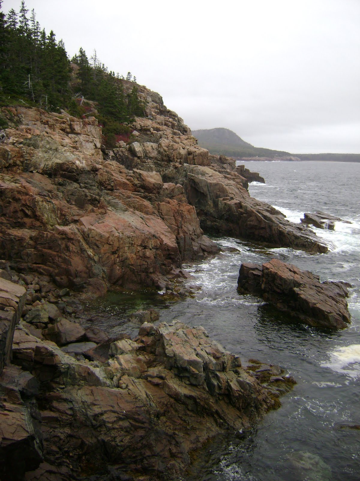
  The rocks and waves were calmer and it just seemed a much gentler place. Of course this is where I harshly injure myself. I drove out to Schoodic point and was rejoicing at the sun that was coming out. I took as many pictures as I could of the sun on the water.


 I was walking along the long line of rocks on the coast when I went to lower myself down onto a rock and somehow slipped and slammed face first into a crevice. I somehow managed to not hit my face but my right arm and leg were not so lucky. I immediately sprang up (lest anyone who somehow saw think I fell into the ocean) staggered a few feet and then collapsed on a rock in tears. Dang that hurt! On the bright side I did manage to find a lobster claw to take home as a souvenir.
  I had planned to do one more hike and I did it despite my throbbing pain. It wasn’t as bad as Pemitcan but not as easy as the Bubbles. The rain started moving in just as I got back down and I headed out to find my campground.
  Thanks goodness I hadn’t made a reservation for this one. I had wanted to get away from Acadia to get a head start on my trip to Canada the next day so I found a campground along the way. Let me set the scene: it was dusk, raining, and the driveway was covered in rain filled potholes. There was a truck parked in front of what I assumed was the office. I parked, got out and went up to the door. It was dark and locked so I figured I’d just grab a site and pay later. I drove around the campground and there wasn’t a soul in sight! It was beautiful, being right on the ocean, but I didn’t see so much as a seagull. I debated the wisdom of staying. I figured since I just needed a place to crash for the night I would take the spot closest to the bathroom/showers since there was a light. I went to the bathrooms which were ok and then I peered into the showers and that’s when I decided there’s no way I’m staying here. The area was dark and there was no light switch only a thing that looked like a timer on the wall, there was an odd token thing in one that looked half broken, and the token thing in the other was disabled and had electrical wires spewing out of it. No way. I ran to my car and hightailed it out of there. This whole time, I never saw the occupant of the lone truck parked out front. I drove on to the next town and got a room at the Red Barn motel.
 There were actually cars in the parking lot and I saw an elderly couple so I figured I’d be safe. My room was actually really nice. It was huge and there was a sliding glass door that opened to a deck and a view of the river beyond. I really enjoyed it and would recommend the Red Barn (despite the overabundance of cats everywhere).